
 Image 1 of 1

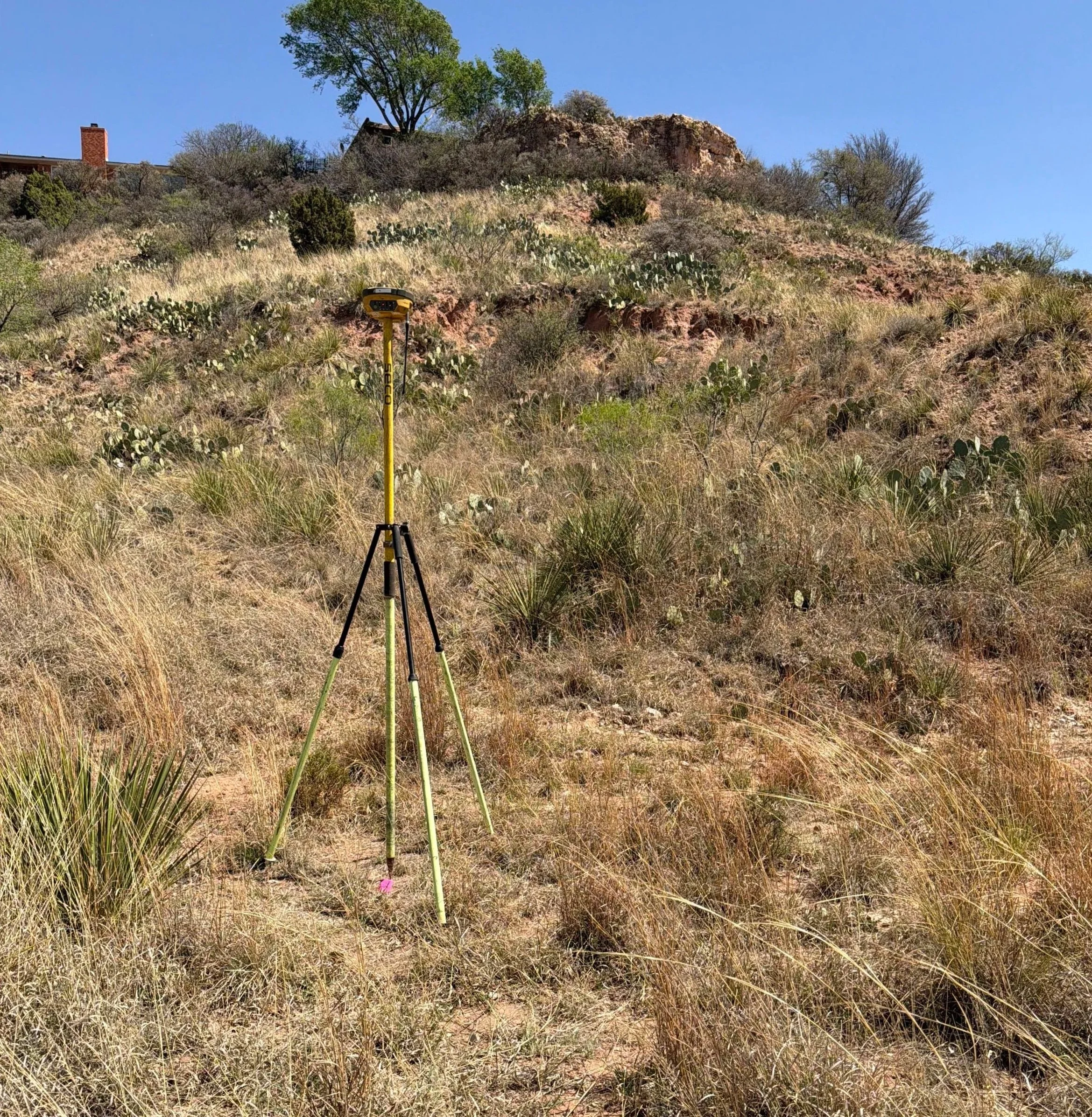
Abacus Land Surveying provides detailed topographic surveys to support the planning and design needs of civil engineers, architects, and developers. These surveys accurately map the existing ground conditions and physical features of a site, providing the critical base information required for engineering design and construction planning.
A topographic survey identifies elevations, contours, and visible improvements to create a complete picture of the property’s existing conditions. Engineers rely on this data to design drainage systems, roadways, utilities, building sites, and other improvements.
Our topographic survey services include:
Collection of ground elevations across the project site
Development of contour lines at specified intervals
Location of existing improvements such as buildings, pavement, fences, and walls
Identification of visible utilities and surface features
Location of drainage features including ditches, channels, and culverts
Tree and vegetation location, as requested
Establishment of horizontal and vertical control
Delivery of survey data in CAD format for engineering design
Topographic surveys are commonly used for:
Civil engineering design
Site development and planning
Drainage and grading design
Roadway and utility design
Commercial and residential development
Abacus Land Surveying works closely with engineering teams to ensure survey data meets project specifications and integrates seamlessly into the design process. We utilize modern GPS and robotic total station equipment to provide accurate, efficient, and reliable results.
Our goal is to deliver high-quality topographic surveys that give engineers the information they need to design with confidence and keep projects moving forward.